Mapping The Red Headed League is a fascinating reconstruction of the actual places mentioned (or hinted at) by Arthur Conan Doyle’s The Red Headed League by Aman Bhargava.
We cross-reference railway timetables, scrutinize Victorian newspaper reports and historical incidents, scour government records, analyze meteorological data, and, in my specific case, pore over Ordnance Survey maps to make the pieces fit.
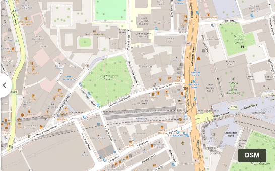
What struck me is how little London has changed, how much old data is available, and what love it takes to reconstruct such a journey!
I also learnt several geo-tools / services I didn’t know about:
- gpx.studio - for visualizing GPS tracks on maps
- openroute service - for route planning and isochrones
- OpenFreeMap lets you serve custom maps on any website
- Protomaps creates custom map tiles
- Mapbox / MapLibre styles can be used to create 3D building styles.